
What No One Tells You About the Future of PDR in Smart Cities
Urban Navigation: The Future of Finding Your Way in Smart Cities
Introduction
Urban navigation is how people find their way around cities, using technology to guide them through streets, buildings, and transit systems. As cities grow bigger and busier, understanding urban navigation becomes more important. It helps improve urban mobility — the ease with which people move through city spaces.
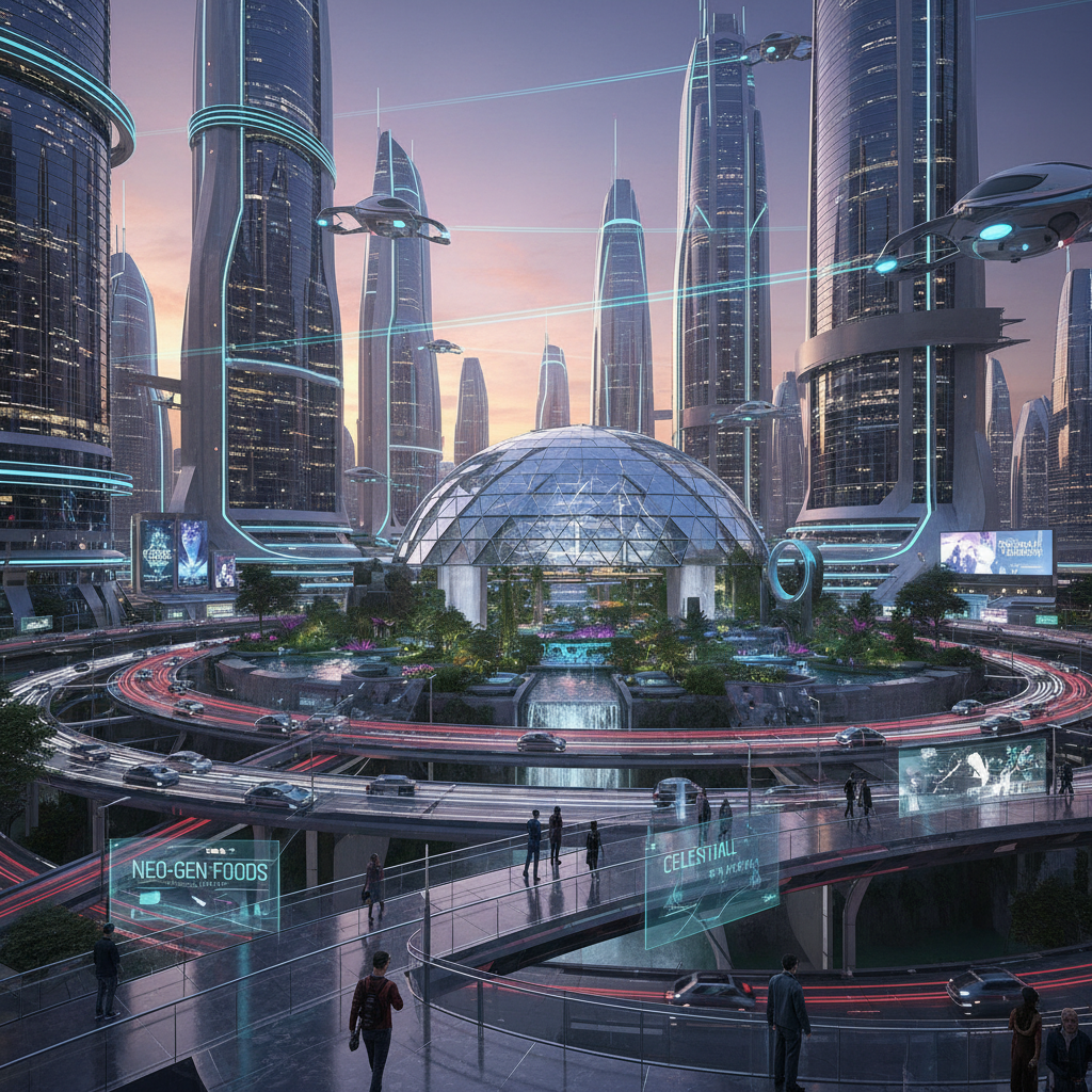
With the rise of smart cities, where technology connects everything from traffic lights to public transport, urban navigation is also evolving. Modern AI applications are making it easier for devices to understand where people are, even when GPS signals are weak or unavailable. This technology, combined with new methods like pedestrian dead reckoning (PDR) and visual relocalization, is changing how we move through urban environments every day.
Background
Traditional navigation systems mainly rely on GPS to help users find their location. But GPS can struggle in urban settings, especially when buildings are tall or inside indoors where the signal is weak or blocked. Imagine trying to find a coffee shop inside a large mall using only GPS—often it’s inaccurate.
This is where Pedestrian Dead Reckoning (PDR) comes in. PDR is a technique that estimates a person’s position by counting their steps and sensing direction changes using a smartphone’s sensors, like accelerometers and gyroscopes. Think of it like a blindfolded person walking while counting their footsteps. Even without GPS, PDR can keep track of their position relative to where they started.
An example of PDR’s success is the RELOC-PDR system. Developed for smartphones, RELOC-PDR improves indoor position tracking where GPS can’t reach. According to a detailed article on Hacker Noon: “Your smartphone could soon track you more accurately than GPS” using such systems. This is vital for places like airports, shopping centers, or underground transit stations, where knowing exactly where you are can make a huge difference in navigation (source).
Trend
Today, urban navigation technologies are embracing new trends to overcome old challenges. One growing method is visual relocalization, which uses cameras on devices to recognize landmarks and match them against stored maps. Imagine navigating by recognizing street signs and building fronts with your phone’s camera—this technique helps improve location data when GPS or PDR alone are not enough.
Visual relocalization adds a powerful layer to urban mobility by allowing devices to better understand their surroundings through images. Combined with advancements in AI applications, navigation systems can learn and adapt over time, providing real-time guidance and predicting the best routes based on traffic and pedestrian flow.
AI helps by processing vast amounts of data quickly, spotting patterns and suggesting options that humans might miss. For smart cities, this means smoother transportation, less congestion, and safer pedestrian experiences. Together, these technologies build smarter and more connected urban environments.
Insight
The rise of these technologies impacts more than just convenience—it changes how much control users have over their navigation data. As new systems collect detailed movement information, there’s an ongoing conversation about privacy and data security. It’s important to find a balance between benefiting from innovation and protecting individual rights.
As noted by Dr. One Ms. Hacker, featured in another Hacker Noon article, “No technological innovation comes without sacrifice.” This highlights the need for society to reclaim control of personal data as cities go digital (source).
These insights suggest urban navigation is not just about technology but also ethics. How will cities ensure that smart navigation tools help people without compromising privacy? This question is becoming central as urban navigation solutions like RELOC-PDR become widespread and AI keeps improving.
Forecast
Looking ahead, urban navigation will continue advancing with better PDR and visual relocalization systems. We can expect future smartphones and wearable devices to combine these technologies for ultra-precise navigation—even in complex environments like underground stations or crowded city centers.
However, challenges remain. Ethical issues about surveillance and data privacy will grow as tracking becomes more detailed. Smart cities will need clear rules and transparent systems to protect users while offering the benefits of advanced navigation.
As AI grows smarter, navigation systems might even predict your destination based on habits or suggest safer, greener routes to reduce city pollution. Urban navigation could move from just showing where you are to actively improving your travel experience every day.
Call to Action
To stay ahead in this rapidly changing world, it’s important to stay informed about new urban navigation technologies and their impact. Whether you’re a city planner, developer, or everyday commuter, these innovations will shape how we move and live in smart cities.
How do you imagine the future of urban navigation in your city? Will your smartphone guide you seamlessly from street to store, or is privacy your biggest concern? Share your thoughts and stay curious about these exciting changes.
—
References:
– \”RELOC-PDR: A Robust Smartphone System for Indoor Pedestrian Positioning,\” Hacker Noon. Link
– \”Dark Roads, Cloudy Skies, Textureless Walls: RELOC-PDR Still Finds the Way,\” Hacker Noon. Link
5 Predictions About the Future of Embedded Analytics That’ll Shock You
Unleashing the Power of Embedded Analytics for Data-Driven Decisions Introduction Imagine you’re d

5 Predictions About AI Impacting the Future of Art and Therapy That’ll Shock You
AI Creativity: The Future of Innovation in The Creative Industries Introduction Imagine a world wher

Why .AGI Domains Are About to Change Everything in AI Identity
The Future of .AGI Domains: Shaping Digital Identity in the Age of Web3 and AI Governance Introducti